

Live picture unavailable. Use the DriveBC link below.
Georgia Street at Chilco
Looks south
Georgia Street runs past the West End towards the Stanley Park entrance.
Image: DriveBC, Province of British Columbia
Lions Gate Bridge · Vancouver
Live views of the bridge and its approaches, from south shore to north.
Published Updated
Prospect Point at noon · Artist’s impression© Lions Gate Bridge Museum · lionsgatebridge.org
From shore to shore
Cameras by DriveBC. Each picture loads straight from DriveBC. Visit DriveBC’s live map for conditions and closures.
 AGeorgia StreetBCausewayCNorth end · southDNorth end · northEMarine DriveFTaylor WayGHwy 1 · Hadden Dr · eastHHwy 1 · Hadden Dr · west
Live picture unavailable. Use the DriveBC link below.
Looks south
Georgia Street runs past the West End towards the Stanley Park entrance.
Image: DriveBC, Province of British Columbia
Live picture unavailable. Use the DriveBC link below.
Looks north
The Causeway leads through Stanley Park towards the bridge.
Image: DriveBC, Province of British Columbia
Live picture unavailable. Use the DriveBC link below.
Looks south
The bridge stretches south from the north end.
Image: DriveBC, Province of British Columbia
Live picture unavailable. Use the DriveBC link below.
Looks north
The road leaves the bridge for the North Shore junctions.
Image: DriveBC, Province of British Columbia
Live picture unavailable. Use the DriveBC link below.
Looks east, towards the bridge
Marine Drive meets Taylor Way on the approach to the bridge.
Image: DriveBC, Province of British Columbia
Live picture unavailable. Use the DriveBC link below.
Looks north
Taylor Way heads uphill from its junction with Marine Drive.
Image: DriveBC, Province of British Columbia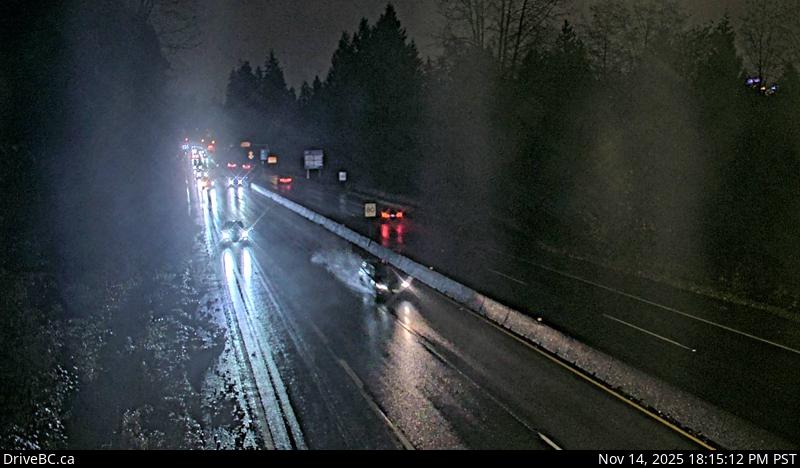
Live picture unavailable. Use the DriveBC link below.
Looks east
Highway 1 at the Hadden Drive off-ramp for Taylor Way, looking east.
Image: DriveBC, Province of British Columbia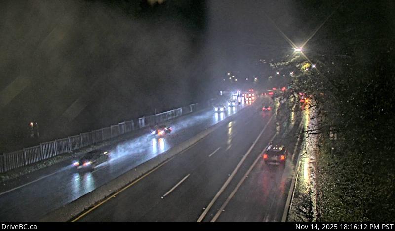
Live picture unavailable. Use the DriveBC link below.
Looks west
Same position in DriveBC’s catalogue as the camera above, looking west along Highway 1.
Image: DriveBC, Province of British ColumbiaVisible pictures refresh every three minutes while this tab is open, unless data saver is on. DriveBC controls when each image changes; “Refreshed” is when your browser loaded it. Camera images: DriveBC, Province of British Columbia. Contains information licensed under the Open Government Licence – British Columbia.